

Category: Maps
-
Bottling it in Besthorpe
Giving the Howes line a home
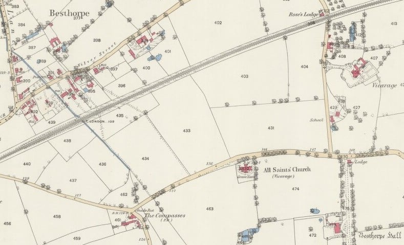
Giving the Howes line a home Of all the ancestral home towns and villages, that of the direct Howes line, namely Besthorpe in Norfolk, has been the most neglected to date. This stands alongside the minimal details held on the last known family member to spend all his life there, 3x great grandfather James Howes. The direct line can be quite easily traced back to him, born in the village at the turn of the 19th century {1}. This article seeks to establish a greater » »
-
Historical maps online – update
Historical maps have continued to appear online since the last Cutlock & Co article on the subject back in March 2012 {1}. Here are some fairly recent additions and relevant news items. Also, a new reference page has been created: Press, maps, images. Combining the Visual Resources section of the Research Links page with newspaper archives links and tips. Welsh places Help wanted: A project launched in October 2013 is asking for help with “collecting all the names of places and features in Wales » »
-
Exploring Historical Maps
It is gradually getting easier to find old maps, or rather current maps with historical details, online. Two areas of interest to me have recently come my way, and are reasonably new. Not forgetting some pointers on using the 1851 England boundary maps available on FamilySearch. Historical Maps of Norfolk Norfolk County Council has a historic maps section to its website. With the interactive map explorer you can view historical maps alongside historical aerial survey data and modern day Ordnance Survey maps. Plus there are some » »